BLM: Owlshead Mountains Map
4.00
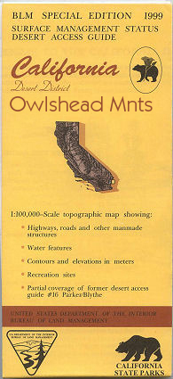
Applies to: California. Map shows the southern part of Death Valley National Park, includes the Owlshead Mountains. A large area of BLM land east of the Death Valley section is shown, and includes Nopah Range, and Kingston Range. For OHV enthusiasts visit Dumont Dunes OHV Recreation Area allowing ATV and jeep use; site is located south of Tecopa. Backside of map has extensive information about the designated 25 million acre California Desert Conservation Area. Includes descriptive information about the places on the map, along with available recreational activities such as camping, hiking, horseback riding, and 4 Wheel/OHV driving. Official Bureau of Land Management metric topographic map @1:100,000 scale (roughly 3/4"=1 mile), color-coded to show surface management, i.e. agency vs. private or tribal ownership. Map shows roads, water features, recreation sites, points of interest, and the township and range lines. Use this map for Deer Hunting in Units D17 and X9C. 1999