OHV Open Areas
Spangler Hills Off-Highway Vehicle Recreation Area
Spangler Hills Off-Highway Vehicle Recreation Area In March 2019, the John D. Dingell Act added 41,000 acres of open public
Jawbone Canyon OHV Open Area
Jawbone Canyon OHV Open Area From cross-country play to advanced technical routes, the Jawbone Off-Highway Vehicle (OHV) Area offers over
Dove Springs OHV Open Area
Dove Springs OHV Open Area From cross-country play in the sandy bowl, to steep hill climbs, the Dove Springs OHV
Share the Trail!
OHV collisions occur on the trail. To help avoid a collision, keep an eye out for fast moving vehicles and always be cautious. Consider installing a whip to improve your vehicle’s visibility. Slow down when your line of sight is obstructed or when nearby others. Follow the right of way: Motorized vehicles yield to bikes, pedestrians, and horses. Bikes yield to pedestrians and horses. Pedestrians yield to horses. Yield to those passing from behind or traveling uphill.
Popular OHV Routes
Bonanza Trail
Bonanza Trail Loop The Jawbone Canyon Area (centered along Jawbone Canyon Rd. in Eastern Kern County) is a geologically diverse
Jawbone Canyon Loop
Jawbone Canyon Loop The Jawbone Canyon Area (centered along Jawbone Canyon Rd. in Eastern Kern County) is a geologically diverse
Statewide Motorized Trail System
Statewide Motorized Trail System (SMTS) The SMTS is a proposed network of OHV trails across public land within California. The
Piute Mountain Road / Sequoia NF
Piute Mountain Road / Sequoia National Forest – Street Legal Vehicles ONLY Piute Mountain Road traverses the mountain east from
Dry Meadow Trail – (Motorcycle ONLY)
Dry Meadow Trail – (Motorcycle ONLY) Dry Meadow Trail starts at the end of Steve Spring Road 28S27B in the
California City Designated Routes
California City Designated Routes The California City Designated Route System are trails that connect Randsburg with California City. They are
Bright Star Motorcycle Trail
Bright Star Motorcycle Trail The Bright Star Motorcycle Trail starts in the Piute Mountains on 28S27 near Inspiration Point, and
Keep Our Desert Beautiful
Please respect the natural and historic landmarks found here. Leave No Trace; do not litter, loot, or vandalize, and report any such activities to law enforcement. Please respect all fences and no trespassing signs. Enjoy our desert lands responsibly and respectfully.


Friends of Jawbone is a non-profit corporation under section 501(c)(3). If you or your business would like to support Friends of Jawbone, please click here.
Special Thanks To:
Bureau of Land Management
California Breakfast Burritos
Cherie Hollaway
Crystal Geyser
CSI Electric
Desert Search and Rescue
Doug and Katy Varner
Funtime ATV Rentals
High Desert 4 Wheelers
IMC Real Estate
Indian Wells Brewing Company
J’s Maintenance
Jawbone Canyon Store
Jawbone Channel
Mojave Gold
Rick & Janet Homan
Station Manager
Tehachapi Valley Gem & Mineral Society
Terra-Gen
X-West
Shaw Charitable Fund
PIONEER MEMBERSHIP
If you would like to sponsor a future event, please contact us at:
(760) 373-1146
Dedicated to Ed Waldheim
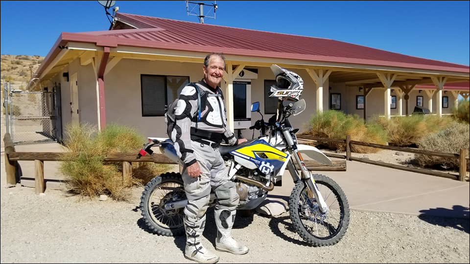
Founder of the Friends of Jawbone (FOJ)