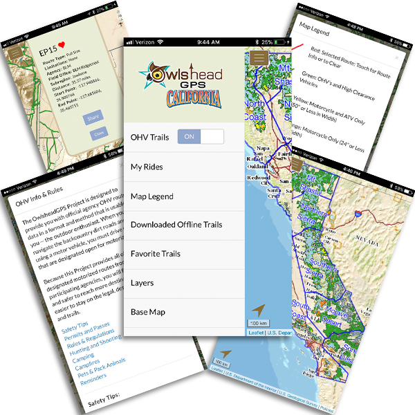
The OwlsheadGPS App is the perfect companion for you, the outdoor enthusiast. Covering an area of 101+ million aces, and 57,000+ miles of trails across 37,000+ routes, OwlsheadGPS is the most comprehensive OHV Trail network available to the general public.
The OwlsheadGPS App allows you to download trails and maps for any California region, enabling you to exploring new and exciting areas without the need for wifi and/or cell service. You can even see your position update in real time, be it stationary or on the move!
The OwlsheadGPS App includes official OHV route data from participating land management agencies in California, combined into a mobile app designed just for all outdoor enthusiasts. You can download the app for FREE on the Apple App Store or Google Play.
For more information, or to download the app, visit: owlsheadgps.com