Mobile Map Apps
For maps that you can use on the go, we suggest the following mobile apps that include all of the trails and regions you’ll need to help you find your way on your next trip

Avenza PDF Maps
FOJ Map Now Available on Avenza PDF Maps Friends of Jawbone is excited to announce that a high quality, digital version of our popular OHV Trail Map is now available
Printed Maps
For a wide selection of printed maps for all of California, visit our Store page where you can find the right printed map for your next trip.
Keep Our Desert Beautiful
Please respect the natural and historic landmarks found here. Leave No Trace; do not litter, loot, or vandalize, and report any such activities to law enforcement. Please respect all fences and no trespassing signs. Enjoy our desert lands responsibly and respectfully.

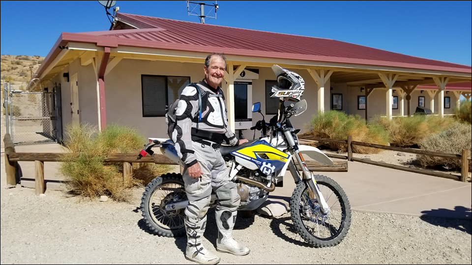
Dedicated to Ed Waldheim

Founder of the Friends of Jawbone (FOJ)
Friends of Jawbone is a non-profit corporation under section 501(c)(3). If you or your business would like to support Friends of Jawbone, please click here.
Special Thanks To:
Please join us in thanking our Supporters:
Shaw Charitable Fund
PIONEER MEMBERSHIP
Please join us in thanking the sponsors of our 26th Moose Anderson Day:
Bureau of Land Management
Terra-Gen
Mather Ice
CSI Electric
Rio Tinto-US Borax
Peak Productions
High Desert Cycles
KCSR
Mojave Off-Road Adventures
Jawbone Channel
Jawbone Store
Fun Time ATV Rentals
Dirt and Destroy
CarMax Foundation
Karl’s Hardware
Crystal Geyser
IMC Real Estate JBL Associates
Point Mugu 4×4 Club
RSI Petroleum
The JOINT
Doug Varner
Indian Wells Brewing Company
X-West
Happy Trails Data Management
Mojave Gold


