OHV Trail Map California
 Our iPhone / Android App has the entire CTUC Map Series available inside the app. Enjoy the convenience of consulting your Friends of Jawbone OHV Trail Map anywhere, anytime!
When used on a GPS-enabled iOS or Android device, the OHV Trail Map California App can display and update your position on the map in real-time as you travel — even where there is no data service available!
The OHV Trail Map California map app contains helpful information such as OHV and back country rules and regulations, nearby towns with services, local agencies, hospitals and emergency services. Our “Discovery Points” feature includes photos and descriptions for hundreds of scenic, historic, or otherwise important points of interest on the map, and shows you exactly where they are and how to get there.
The OHV Trail Map California is available for download from the Apple App Store and Google Play for FREE!
For more information, visit: ohvmap.com


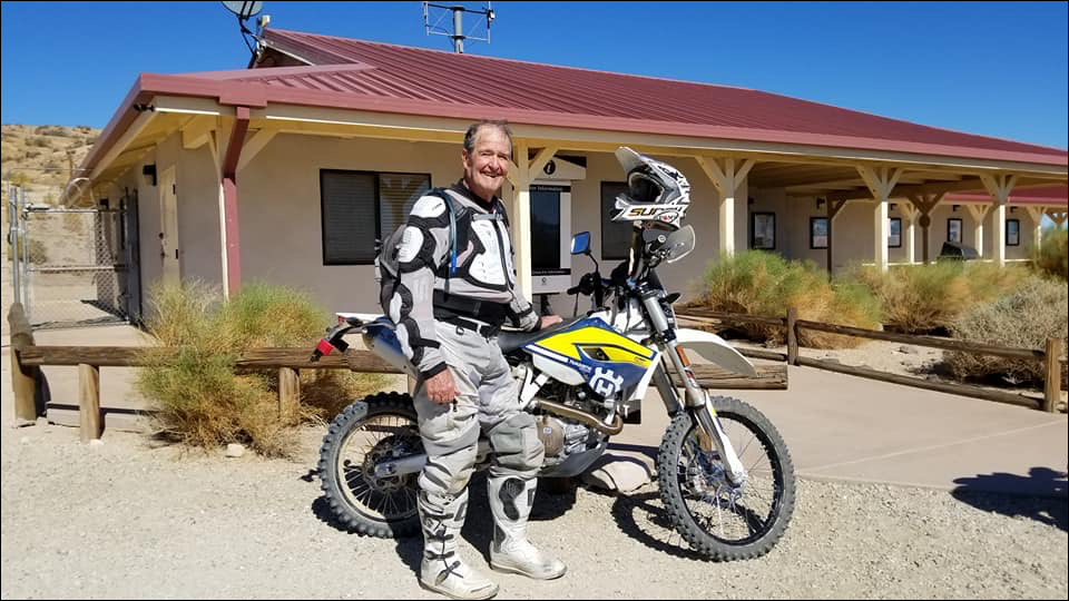
Dedicated to Ed Waldheim

Founder of the Friends of Jawbone (FOJ)
Friends of Jawbone is a non-profit corporation under section 501(c)(3). If you or your business would like to support Friends of Jawbone, please click here.
Special Thanks To:
Please join us in thanking our Supporters:
Shaw Charitable Fund
PIONEER MEMBERSHIP
Please join us in thanking the sponsors of our 26th Moose Anderson Day:
Bureau of Land Management
Terra-Gen
Mather Ice
CSI Electric
Rio Tinto-US Borax
Peak Productions
High Desert Cycles
KCSR
Mojave Off-Road Adventures
Jawbone Channel
Jawbone Store
Fun Time ATV Rentals
Dirt and Destroy
CarMax Foundation
Karl’s Hardware
Crystal Geyser
IMC Real Estate JBL Associates
Point Mugu 4×4 Club
RSI Petroleum
The JOINT
Doug Varner
Indian Wells Brewing Company
X-West
Happy Trails Data Management
Mojave Gold

