San Antonio Mine
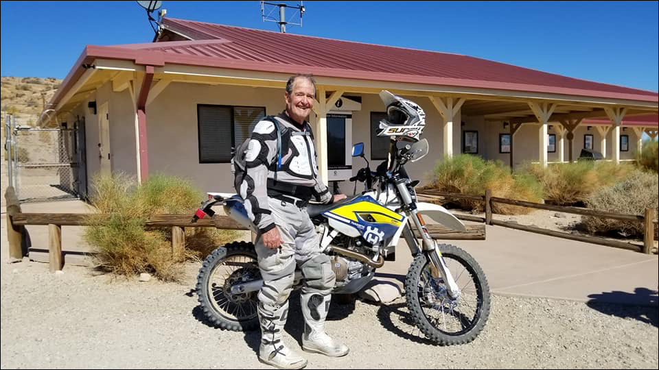
Located just east of SC176, the discovery of gold in 1887 brought a renewal of mining activity to the Kelso Valley area. A small, two-stamp mill was located in the wash one mile east of the mine. This, and other mines in the area, became inactive or were abandoned by the mid-1930s. Concrete slabs of original structures are still visible. Be careful near open mine shafts.
Stay Out and Stay Alive.
You can find this Discovery Point via GPS at N35.4010, W118.0861, or in section H-7 with the Jawbone Canyon OHV Map.


Friends of Jawbone is a non-profit corporation under section 501(c)(3). If you or your business would like to support Friends of Jawbone, please click here.
Special Thanks To:
Please join us in thanking our Supporters:
Sponsors of our 27th Moose Anderson Day:
Bakersfield UTV & Stereo
California Outdoor Recreation Foundation
CSI Electric
Desert Search and Rescue
Dirt & Destroy
Doug Varner
Funtime ATV Rentals
Happy Trails Data Management
High Desert 4 Wheelers
Indian Wells Brewing Company
J’s Maintenance
Jawbone Canyon Store
Jawbone Channel
Karl’s Hardware
Living Desert Zoo
Peak Productions
Precise RV Rentals
Rinco
RSI
Rocking MM Enterprises
Viking Bags
X-West
Bakersfield UTV & Stereo
Desert Search and Rescue
Doug Varner
Happy Trails Data Management
Indian Wells Brewing Company
Jawbone Canyon Store
Karl’s Hardware
Peak Productions
Rinco
Rocking MM Enterprises
X-West
Shaw Charitable Fund
PIONEER MEMBERSHIP
If you would like to sponsor this year’s events or a future event, please contact us at:
(760) 373-1146

Dedicated to Ed Waldheim

Founder of the Friends of Jawbone (FOJ)

