Spangler Hills Off-Highway Vehicle Recreation Area
In March 2019, the John D. Dingell Act added 41,000 acres of open public land to the Spangler Hills Off-Highway Vehicular Recreation Area’s previously available 57,000+ acres, and now stands at 92,340 acres in total. You can ride anywhere your skill and machine will allow you. The Spangler Hills OHV Area provides a wide variety of riding opportunities, including cross-country play, trail riding, advanced technical routes, four-wheel drive trails, enduro, technique trials, European Scramble, and Hare & Hound competitive events. The area provides an uncrowded riding opportunity in the Western Mojave Desert three hours north of Los Angeles.
The most popular staging area is Teagle Wash, located east of the Trona-Red Mountain Road on BLM Route RM143. This site provides a large area for camping, unloading, free play and staging competitive events. It can be found via GPS at: N35.5107, W117.5787, or via section I-13 with the Jawbone Canyon and BLM Ridgecrest Area Map.
Two other staging areas are the Searles Station Area/Prospectors’ Camp Site, located approximately 2 miles east of US 395 via the Searles Station Cutoff Road and Wagon Wheel/Charlie’s Place, located 5 miles south of SR 178 on the Trona-Red Mountain Road. Both of these sites are accessible by 2-wheel drive vehicles and offer excellent opportunities for unloading for a day of riding or primitive camping for a weekend. Charlie’s Place can be found via GPS at: N35.5723, W117.5501. (J-14) Prospectors Camp Site can be found via GPS at: N35.4847, W117.6258 (I-12)
Some other local staging areas include Sand Hills, Summit Range and Dirt Diggers’ Camp Site.
Dirt Diggers’ Camp can be found via GPS at: N35.5206, W117.6723. (I-13) Sand Hills, Summit Range can be found via GPS at: N35.4745, W117.5810 (I-13)
The area just south of the Open Area contains limited use moderate motorcycle trails, and the area to the north and east of the Open Area contains limited use “C” (competition) trails. Located in the southwest corner of the Open Area, the “Paint Pots” are an unusual land formation with vividly colored soil. Four wheel drive is recommended for travel through the Open Area.
You can find this OHV Open Area via section J-14 with the Jawbone Canyon OHV Map.

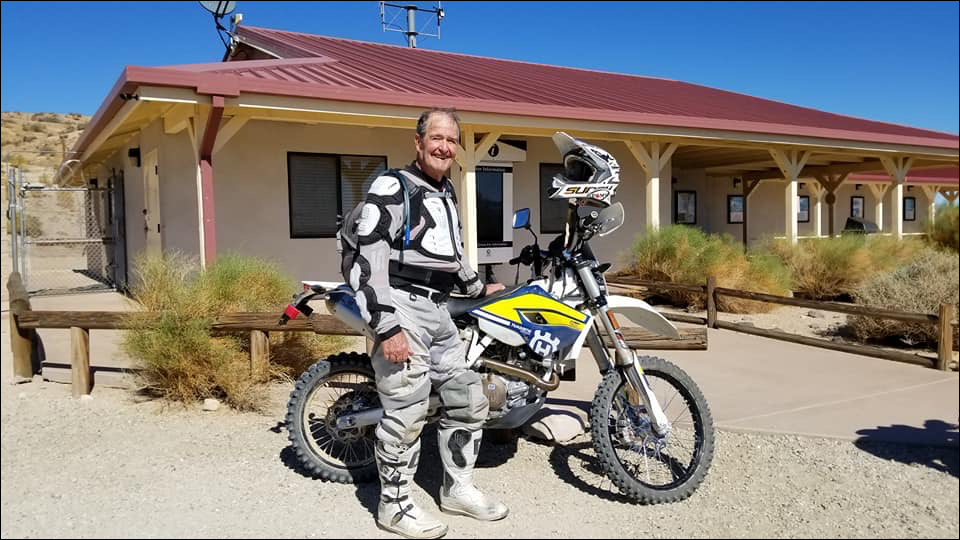
Dedicated to Ed Waldheim

Founder of the Friends of Jawbone (FOJ)
Friends of Jawbone is a non-profit corporation under section 501(c)(3). If you or your business would like to support Friends of Jawbone, please click here.
Special Thanks To:
Please join us in thanking our Supporters:
Shaw Charitable Fund
PIONEER MEMBERSHIP
Please join us in thanking the sponsors of our 26th Moose Anderson Day:
Bureau of Land Management
Terra-Gen
Mather Ice
CSI Electric
Rio Tinto-US Borax
Peak Productions
High Desert Cycles
KCSR
Mojave Off-Road Adventures
Jawbone Channel
Jawbone Store
Fun Time ATV Rentals
Dirt and Destroy
CarMax Foundation
Karl’s Hardware
Crystal Geyser
IMC Real Estate JBL Associates
Point Mugu 4×4 Club
RSI Petroleum
The JOINT
Doug Varner
Indian Wells Brewing Company
X-West
Happy Trails Data Management
Mojave Gold

