Statewide Motorized Trail System (SMTS)
The SMTS is a proposed network of OHV trails across public land within California. The main SMTS trail is open to all Green Sticker vehicles. Alternate segments may be restricted to street legal vehicles. A few segments of the trail system have been designated within national forests; they are referred to as “Discovery Trails.” You can refer to the Jawbone Canyon and BLM Ridgecrest Area Map legend for allowed vehicle types for each section.
SMTS Route #3 travels north – south from Tehachapi – Lake Isabella. Route #5 travels north – south from Tehachapi – Cantil – Indian Wells. Route #6 travels east – west through Trona – Lake Isabella, and Route #7 travels north – south from Barstow – Trona Pinnacles. Since there is no legal, contiguous north – south OHV trail for Green Sticker vehicles, the routes shown are restricted to licensed vehicles in many sections.
This project has been in development for over 30 years and is not yet complete. An enthusiast organization, Friends of The Trail (FOTT), was formed to suggest trail alignments and assist with implementation. GPS tracks for the SMTS as proposed by FOTT can be found at: GPSXchange.com.
You can find this route via GPS at N35.4597, W118.3458, or in section H-3 with the Jawbone Canyon OHV Map.

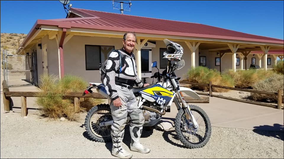
Dedicated to Ed Waldheim

Founder of the Friends of Jawbone (FOJ)
Friends of Jawbone is a non-profit corporation under section 501(c)(3). If you or your business would like to support Friends of Jawbone, please click here.
Special Thanks To:
Please join us in thanking our Supporters:
Shaw Charitable Fund
PIONEER MEMBERSHIP
Please join us in thanking the sponsors of our 26th Moose Anderson Day:
Bureau of Land Management
Terra-Gen
Mather Ice
CSI Electric
Rio Tinto-US Borax
Peak Productions
High Desert Cycles
KCSR
Mojave Off-Road Adventures
Jawbone Channel
Jawbone Store
Fun Time ATV Rentals
Dirt and Destroy
CarMax Foundation
Karl’s Hardware
Crystal Geyser
IMC Real Estate JBL Associates
Point Mugu 4×4 Club
RSI Petroleum
The JOINT
Doug Varner
Indian Wells Brewing Company
X-West
Happy Trails Data Management
Mojave Gold

