Area Towns and Services

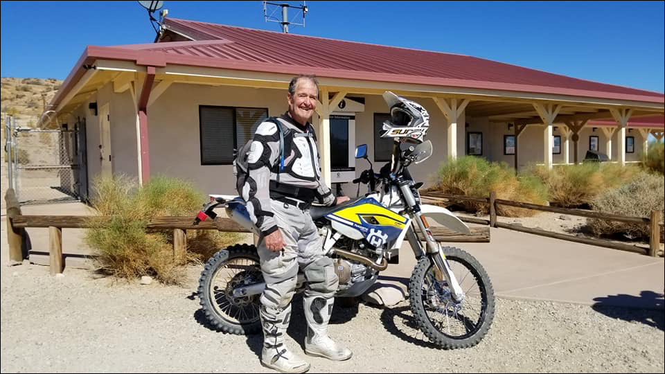
If you’re looking for supplies and/or OHV rentals nearby in Jawbone, there are local stops and shops for you to visit. In addition to the locations below, the nearby Mojave Off-Road AdventuresJawbone Canyon Store and Fun Time ATV Rentals Inc. can keep you well stocked with provisions and vehicles to ride with. All are a short trip from our Jawbone Station Visitor Center, where we offer local trail maps, OHV permits and more.

For Quads, Side-by-Sides, Dirtbikes and Generators, see Fun Time ATV Rentals Inc.
Hourly and Daily Rates Available.
For gas, propane, firewood, food, souvenirs and more, see Jawbone Canyon Store.
"If We Don't Have It, You Don't Need It."
For ATV/UTV Rentals, Tours, and more, see Mojave Off-Road Adventures.
See Calendar for Availability.

California City

California City Planned in the 1950s to be the “City of the Future,” California City is the state’s third largest city by land area. Cal City has gas stations, grocery stores, and a golf course. The lake in the city park is a popular spot for bird watching. An OHV Rider map is available from the city’s website here. For more information visit: californiacity-ca.gov. You can find this town in section C-8 with the Jawbone Canyon OHV Map.

Inyokern

Inyokern Inyokern is in the Indian Wells Valley on Highway 178. Inyokern Airport (IYK) is a public use airport. Services in this community include several shops, restaurants, and gas stations. For more information visit: inyokern.net. You can find this town in section L-10 with the Jawbone Canyon OHV Map.

Lake Isabella / Kernville

Lake Isabella / Kernville Lake Isabella is located on the south shore of Isabella Lake. Camping, boating, and restaurants are available in Lake Isabella and nearby Kernville. Kernville is the entrance to the Kern River Canyon scenic area and is the site of several commercial rafting companies and campgrounds. Gas is available at both Lake Isabella and Kernville. Visit: gotokernville.com. You can find this town in section K-2 with the Jawbone Canyon OHV Map.

Mojave

Mojave The town of Mojave boasts many restaurants and fast-food locales, as well as gas stations and numerous motels. Mojave Air and Space Port is a famous and active flight test area. Visit: visitmojave.com. You can find this town in section B-6 with the Jawbone Canyon OHV Map.

Ridgecrest

Ridgecrest Ridgecrest is home to the China Lake Naval Air Weapons Center. Ridgecrest offers residents a unique lifestyle which combines the conveniences of a larger city, with a small-town atmosphere. Ridgecrest has many fine restaurants, hotels, and museums. For more information visit: goridgecrest.com. You can find this town in section J-12 with the Jawbone Canyon OHV Map.

Tehachapi

Tehachapi At 4,000 feet in elevation, Tehachapi is a vibrant and historic community known for its quiet neighborhoods and bustling business district. More information can be found at: liveuptehachapi.com. You can find this town in section C-2 with the Jawbone Canyon OHV Map.

Keep Our Desert Beautiful

Please respect the natural and historic landmarks found here. Leave No Trace; do not litter, loot, or vandalize, and report any such activities to law enforcement. Please respect all fences and no trespassing signs. Enjoy our desert lands responsibly and respectfully.

Dedicated to Ed Waldheim

Man standing next to dirt bike

Founder of the Friends of Jawbone (FOJ)

Friends of Jawbone is a non-profit corporation under section 501(c)(3). If you or your business would like to support Friends of Jawbone, please click here.

Special Thanks To:

Please join us in thanking our Supporters:

Shaw Charitable Fund

PIONEER MEMBERSHIP

If you would like to sponsor this year’s events or a future event, please contact us at:
(760) 373-1146

loader-image
Jawbone Canyon, CA
Jawbone Canyon, CA
5:54 PM, May 21, 2025
temperature icon 87°F
clear sky
Humidity 16 %
Pressure 1011 mb
Wind 20 mph
Wind Gust Wind Gust: 29 mph
Clouds Clouds: 0%
Visibility Visibility: 6 mi
Sunrise Sunrise: 5:44 AM
Sunset Sunset: 7:54 PM