Blue Point
Blue Point resides at the intersection of Jawbone Canyon Rd. and SC176 at the mouth of Alphie Canyon. This unique section of land is part of the geologic Ricardo Formation. The bluish-green rocks are old volcanic debris colorized by small amounts of copper. The formation was once considered sacred by Native Americans who seasonally lived in the area. It was mined in the 1950s for commercial use in roofing materials. Roofing granules were produced in six colors: light green, blue-green, purple, bronze, pink, and blue, according to a California Division of Mines and Geology report about Blue Point.
Blue Point can be seen when riding the Jawbone Canyon Loop OHV Trail, a popular route for visitors to the area.

You can find this discovery point via GPS at N35.3189, W118.0829, or in section F-7 with the Jawbone Canyon OHV Map.

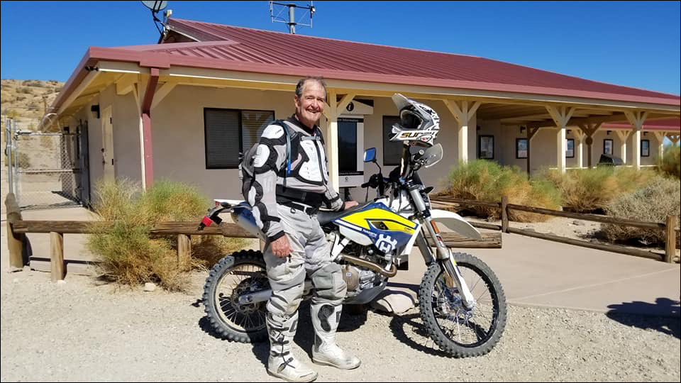
Dedicated to Ed Waldheim

Founder of the Friends of Jawbone (FOJ)
Friends of Jawbone is a non-profit corporation under section 501(c)(3). If you or your business would like to support Friends of Jawbone, please click here.
Special Thanks To:
Please join us in thanking our Supporters:
Shaw Charitable Fund
PIONEER MEMBERSHIP
Please join us in thanking the sponsors of our 26th Moose Anderson Day:
Bureau of Land Management
Terra-Gen
Mather Ice
CSI Electric
Rio Tinto-US Borax
Peak Productions
High Desert Cycles
KCSR
Mojave Off-Road Adventures
Jawbone Channel
Jawbone Store
Fun Time ATV Rentals
Dirt and Destroy
CarMax Foundation
Karl’s Hardware
Crystal Geyser
IMC Real Estate JBL Associates
Point Mugu 4×4 Club
RSI Petroleum
The JOINT
Doug Varner
Indian Wells Brewing Company
X-West
Happy Trails Data Management
Mojave Gold

