Jawbone Canyon Loop
The Jawbone Canyon Area (centered along Jawbone Canyon Rd. in Eastern Kern County) is a geologically diverse region in California’s Western Mojave Desert. Jawbone Canyon is the gateway to miles of 4×4 and hiking trails located on public lands and is home to many OHV trails and a couple of OHV Open Areas.
One Popular OHV Trail in the area is the Jawbone Canyon Loop, comprised of trails SC2, SC123, SC124, SC103, SC99, SC171, SC176, SC173, and Jawbone Canyon Rd.; this loop takes riders near many interesting discovery points.

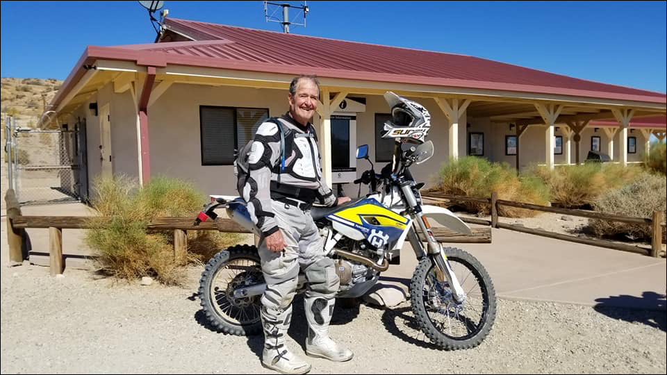
The loop begins at the Jawbone Station Visitor Center. (GPS: 35.2956167’N, 118.0065’W)
The station is located along Highway 14 at Jawbone Canyon Road about 19 miles north of Mojave. The station, open seven day a week, offers area information, maps, fire permits and has an interpretive center.
Along the way is Black Pipe, (GPS: N35.3097, W118.0644) part of the original Los Angeles Aqueduct, built between 1908-1913. The riveted iron pipe is a siphon, one of 23 in the system, used to bring water up and over the canyons. The original aqueduct was 233 miles in length, but was extended to 338 miles in 1940.
Not far from there is Blue Point. (GPS: 35.3189’N, 118.08295’W) Blue Point is a rock formation named for its bluish-green volcanic debris, colorized by small copper deposits, and is found at the intersection of Jawbone Canyon Rd. and SC176. The formation was once considered sacred by Native Americans who seasonally lived in the area. It was mined in the 1950s for commercial use in roofing materials. Roofing granules were produced in six colors: light green, blue-green, purple, bronze, pink, and blue, according to a California Division of Mines and Geology report.
Splitting from SC176 and onto SC251 will lead you to Butterbredt Springs. (GPS: 35.3755’N, 118.107’W) Named for a Nineteenth Century rancher, the spring provides water and a riparian habitat for local wildlife and migrating waterfowl. The Audubon Society and the spring’s landowner have made the spring and surrounding area a wildlife sanctuary where hunting and vehicular travel are restricted.
After looping around SC124 and SC103, riders begin heading south toward San Antonio Mine, (GPS: 35.4013835’N, 118.08565’W) and the Josie Bishop Gravesite and Claim (GPS: N35.3800, W118.0510)
The San Antonio Mine was once the principal gold mine in the Jawbone Canyon Area. Its main shaft (now caved) was about 165 feet deep. There were six other shafts and numerous shallow trenches in the area. The mine was discovered around 1887 and last saw production in 1937.
Josephine Stevens Whitehill Bishop was dubbed “Radium Queen of the Mojave” by the media after her discovery in 1936 of radium-bearing ore on one of her claims above Jawbone Canyon. She was born in Silver City, New Mexico, in 1875. She taught school and married Herbert H. Bishop in 1896, eventually bearing him seven children. Josie and Herbert went their separate ways and Josie became a prospector in Kern County. Her radium find never made her a rich woman. She died in an automobile accident in 1951 and is buried on her claim, next to son, Charlie, who died of tuberculosis in 1948. The graves and former claims are now on public lands.
The loop is then completed when SC176 meets back up with SC251.
You can find this route in sections H-6, H-7, H8, G-6, G-7, G-8, F-6, F-7, and F-8 with the Jawbone Canyon OHV Map.


Friends of Jawbone is a non-profit corporation under section 501(c)(3). If you or your business would like to support Friends of Jawbone, please click here.
Special Thanks To:
Bureau of Land Management
California Breakfast Burritos
Cherie Hollaway
Crystal Geyser
CSI Electric
Desert Search and Rescue
Doug and Katy Varner
Funtime ATV Rentals
High Desert 4 Wheelers
IMC Real Estate
Indian Wells Brewing Company
J’s Maintenance
Jawbone Canyon Store
Jawbone Channel
Mojave Gold
Rick & Janet Homan
Station Manager
Tehachapi Valley Gem & Mineral Society
Terra-Gen
X-West
Shaw Charitable Fund
PIONEER MEMBERSHIP
If you would like to sponsor a future event, please contact us at:
(760) 373-1146
Dedicated to Ed Waldheim
Founder of the Friends of Jawbone (FOJ)