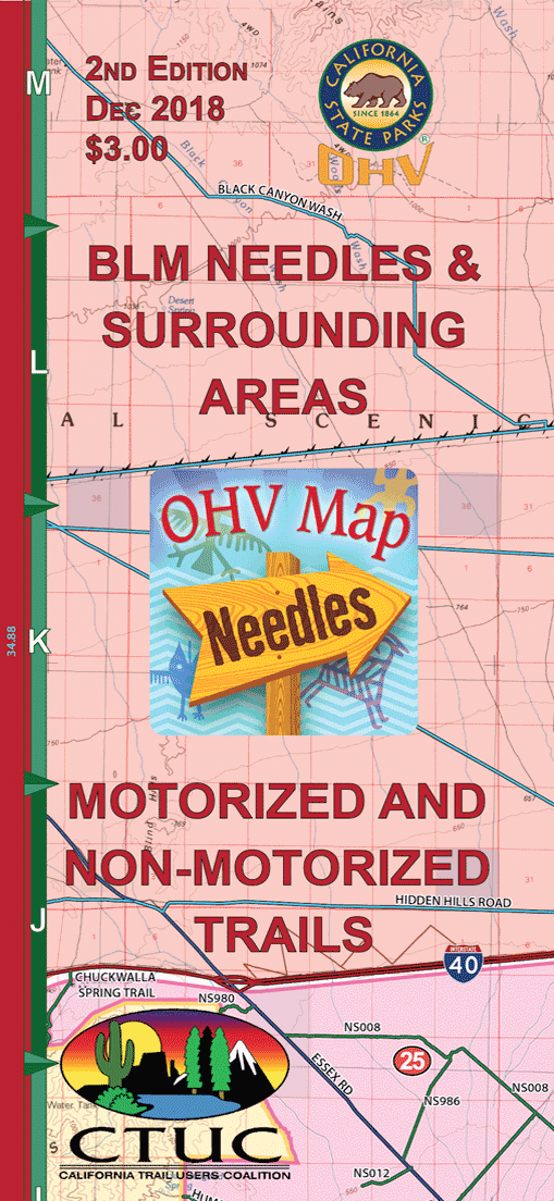
CTUC Map: Needles and Surrounding Areas
3.00
This full color regional map of the Needles area includes OHV and hiking trails from the Bureau of Land Management, State Parks, and National Parks. This map features detailed information for the 24 Discovery Points that are marked on the map. Also included are visitor rules and regulations, safety tips, and emergency contacts. Here you will find everything you need to plan your outdoor adventure in the greater Needles area. The coverage area includes: Mojave National Preserve, Needles, Chemehuevi Valley Recreation Area and more.